Site Resources & Tools

Dive planning for Barry Island
Site Briefing
Barry Island is a boat dive in the Port Hardy area , in the Browning Pass / God's Pocket region. The site is a cold-water reef with current-fed invertebrates.
Access: Boat from God's Pocket or Port Hardy.
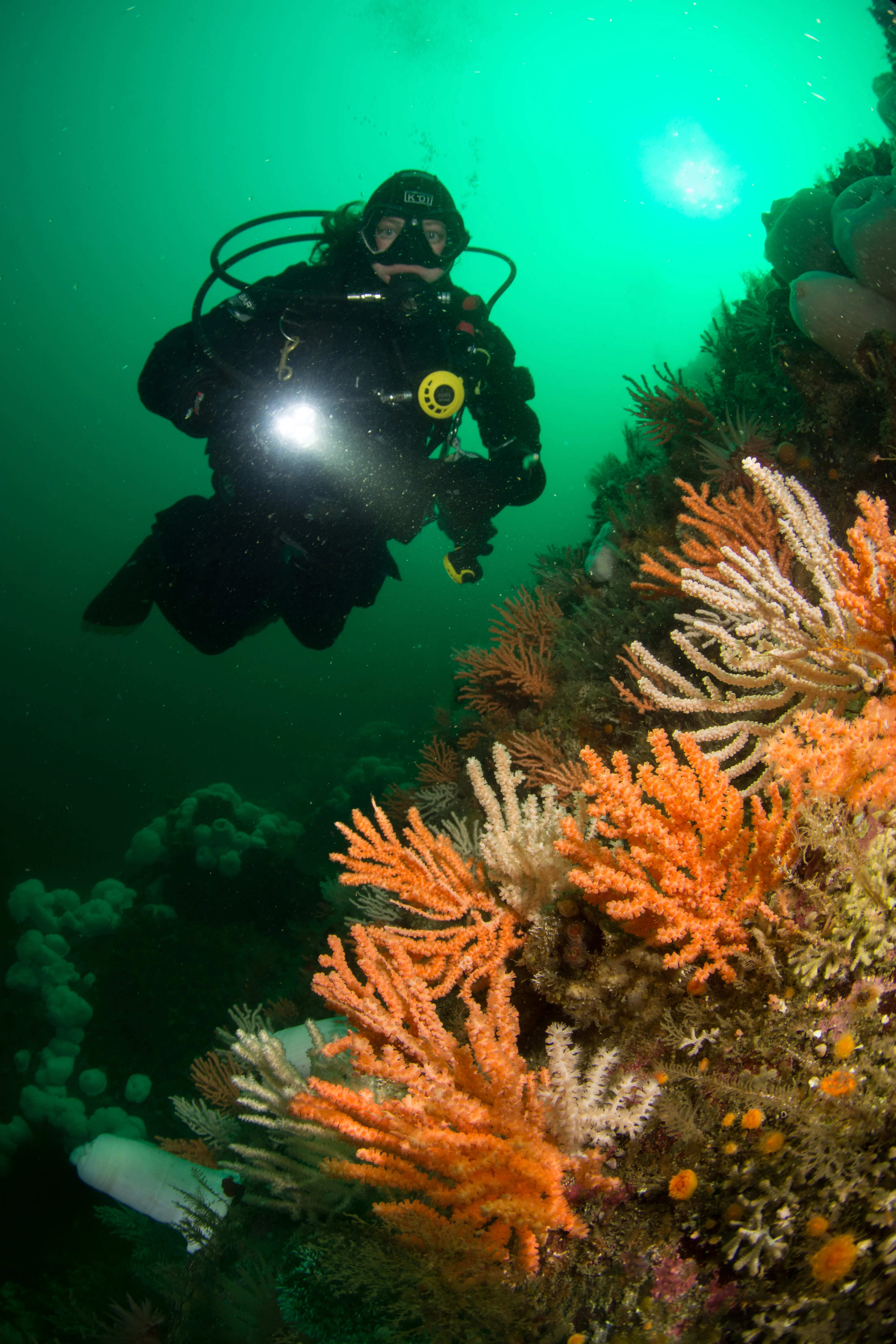
Marine life: Commonly seen: small hard corals (see our gallery), basket stars, sea lions, candy stripe shrimp.
Hazards: This can be a deep dive. The corals start quite deep (70+) and it can be tempting to go down further.
Conditions: The area is prone to wind waves in the open channel.
⚠️ Safety & accuracy
Before diving at Barry Island, always check the site-specific wind/wave forecast, tide/currents, and recent reports (latest: Sep 8, 2024)! Reminder: Winds (even offshore winds) can impact slack time.
Briefings may be out of date or have inaccuracies. Dive within your training and experience. The first time diving a site, join someone familiar with the site and/or start on a mild day.
See our currents, tides, wind, and waves guide for help reading charts and planning current-sensitive dives.
The nearest NOAA or XTide current and tide stations within 25 miles are selected by default when available. NOAA stations show charts here; XTide stations link to Dairiki. Click a pin on the map below to choose another station for current, tide, camera, or buoy data (you may need to zoom in or out).
See an issue? Would you suggest a different default station or depth? Suggest briefing updates.
Nearby Stations
No current station within 25 miles of this site. Zoom out to see further out stations. If you know of a better station from some other source, let us know!
Nearby Dive Sites
- Fantasy Island (~6 miles)
- Lucan Chute (~10 miles)
- Husser Point (~10 miles)
- Hoodie Nudi Bay (~10 miles)